4 Ecoregions & Biomes
Environmental long-term trends and predictability may have a difference influence on assemblage trends across different ecoregions and biomes. One can, for example, imagine that in arid regions the predictability of precipitation is a more important predictor of assemblage trend than it is for regions that see much more precipitation annually, regardless of how predictable that happens to be.
To account for that possible variation, we download a dataset with ecoregions and biomes, and add these to our dataset.
template_raster <- raster::raster("data/raw/gee/ndvi_1.tif")
africa <- st_read("data/raw/Africa.gpkg")

ecoregions <- st_read("data/raw/ecoregions2017/Ecoregions2017.shp") %>%
  dplyr::select(ECO_NAME, BIOME_NAME, REALM) %>%
  st_crop(africa)
## although coordinates are longitude/latitude, st_intersection assumes that they are planar## Warning: attribute variables are assumed to be spatially constant throughout all
## geometries
saveRDS(ecoregions, file = "data/processed/ecoregions.RDS")## Reading layer `Africa-Dissolved' from data source `/mnt/envirpred/raw/Africa.gpkg' using driver `GPKG'
## Simple feature collection with 1 feature and 2 fields
## geometry type: MULTIPOLYGON
## dimension: XY
## bbox: xmin: -25.3618 ymin: -50.01889 xmax: 77.60327 ymax: 37.55986
## CRS: 4326
## Reading layer `Ecoregions2017' from data source `/mnt/envirpred/raw/ecoregions2017/Ecoregions2017.shp' using driver `ESRI Shapefile'
## Simple feature collection with 847 features and 15 fields
## geometry type: MULTIPOLYGON
## dimension: XY
## bbox: xmin: -180 ymin: -89.89197 xmax: 180 ymax: 83.62313
## CRS: 4326We now rasterize the realms, biomes and ecoregions to later add them to the stars object created in previous chapters.
ecoregions <- readRDS("data/processed/ecoregions.RDS")

r_realms <- fasterize(st_collection_extract(ecoregions, type = "POLYGON"), template_raster, by = "REALM")
r_biomes <- fasterize(st_collection_extract(ecoregions, type = "POLYGON"), template_raster, by = "BIOME_NAME")
r_ecoregions <- fasterize(st_collection_extract(ecoregions, type = "POLYGON"), template_raster, by = "ECO_NAME")
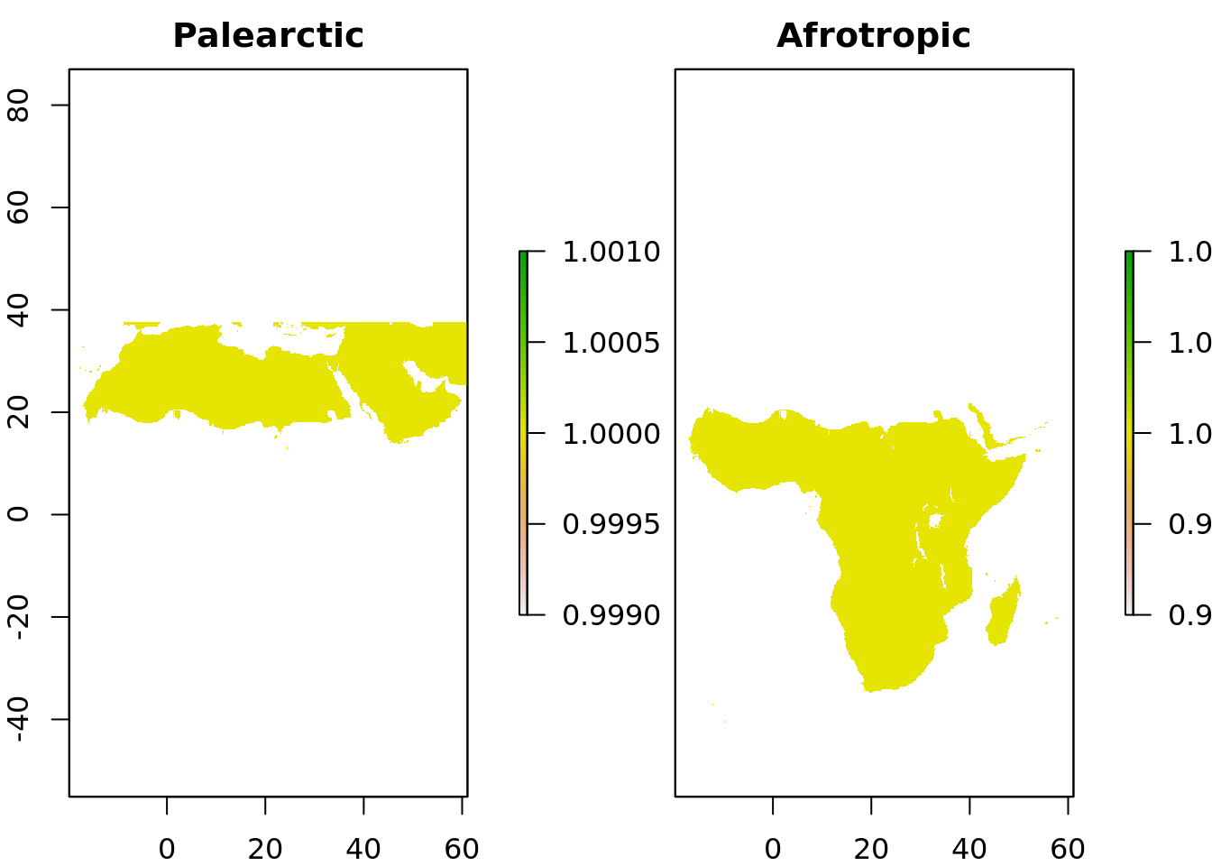
Let’s see if that worked as intended.
plot(r_realms, 1:2)
The previous steps result in some RasterBrick layers that only contain NAs, which we should throw out to reduce memory footprint of these datasets. While we’re at it, we save the rasterized polygons to a GeoTIFF file.
check_raster <- function(r, mincells = NULL) {
  if (is.null(mincells)) mincells <- 1
  nr_nonNAs <- cellStats(!is.na(r), sum)
  if (nr_nonNAs < mincells) { TRUE }
  else { FALSE }
}

check_layers <- function(b, mincells = NULL) {
  idx <- c()
  for (i in 1:nlayers(b)) {
    if (check_raster(b[[i]], mincells)) {
      idx <- c(idx, TRUE)
    } else {
      idx <- c(idx, FALSE)
    }
  }
  idx
}

r_realms <- suppressWarnings(subset(r_realms, which(!check_layers(r_realms))))
r_biomes <- suppressWarnings(subset(r_biomes, which(!check_layers(r_biomes))))
r_ecoregions <- suppressWarnings(subset(r_ecoregions, which(!check_layers(r_ecoregions, 10000))))

writeRaster(r_realms, filename = "data/processed/realms.tif", overwrite = TRUE, format = "GTiff")
writeRaster(r_biomes, filename = "data/processed/biomes.tif", overwrite = TRUE, format = "GTiff")
writeRaster(r_ecoregions, filename = "data/processed/ecoregions.tif", overwrite = TRUE, format = "GTiff")
Rasterizing the ecoregion polygons removes ‘elegant’ names of the corresponding areas, so we save a lookup table to convert them should that be necessary later on.
name_lookup <- function(r_names, sf_names, suffix) {
  r_names <- data.frame(name = r_names, stringsAsFactors = FALSE)
  sf_names <- data.frame(orig_name = as.character(droplevels(sf_names)), stringsAsFactors = FALSE)
  sf_names$name <- str_replace_all(sf_names$orig_name, c(" " = ".", "&" = ".", "," = ".", "-" = "."))

  raster_name <- paste0("raster_name", suffix)
  orig_name <- paste0("orig_name", suffix)

  df <- left_join(r_names, sf_names, by = "name")
  colnames(df) <- c(raster_name, orig_name)
  df
}

ecoregs <- name_lookup(names(r_ecoregions), ecoregions$ECO_NAME, "_ecoreg")
realms <- name_lookup(names(r_realms), ecoregions$REALM, "_realm")
biomes <- name_lookup(names(r_biomes), ecoregions$BIOME_NAME, "_biome")

lut <- list(names(r_ecoregions), ecoregs, names(r_realms), realms, names(r_biomes), biomes)
names(lut) <- c("ecoregions", "lut_ecoregions", "realms", "lut_realms", "biomes", "lut_biomes")
saveRDS(lut, file = "data/processed/ecoregions_lut.RDS")